
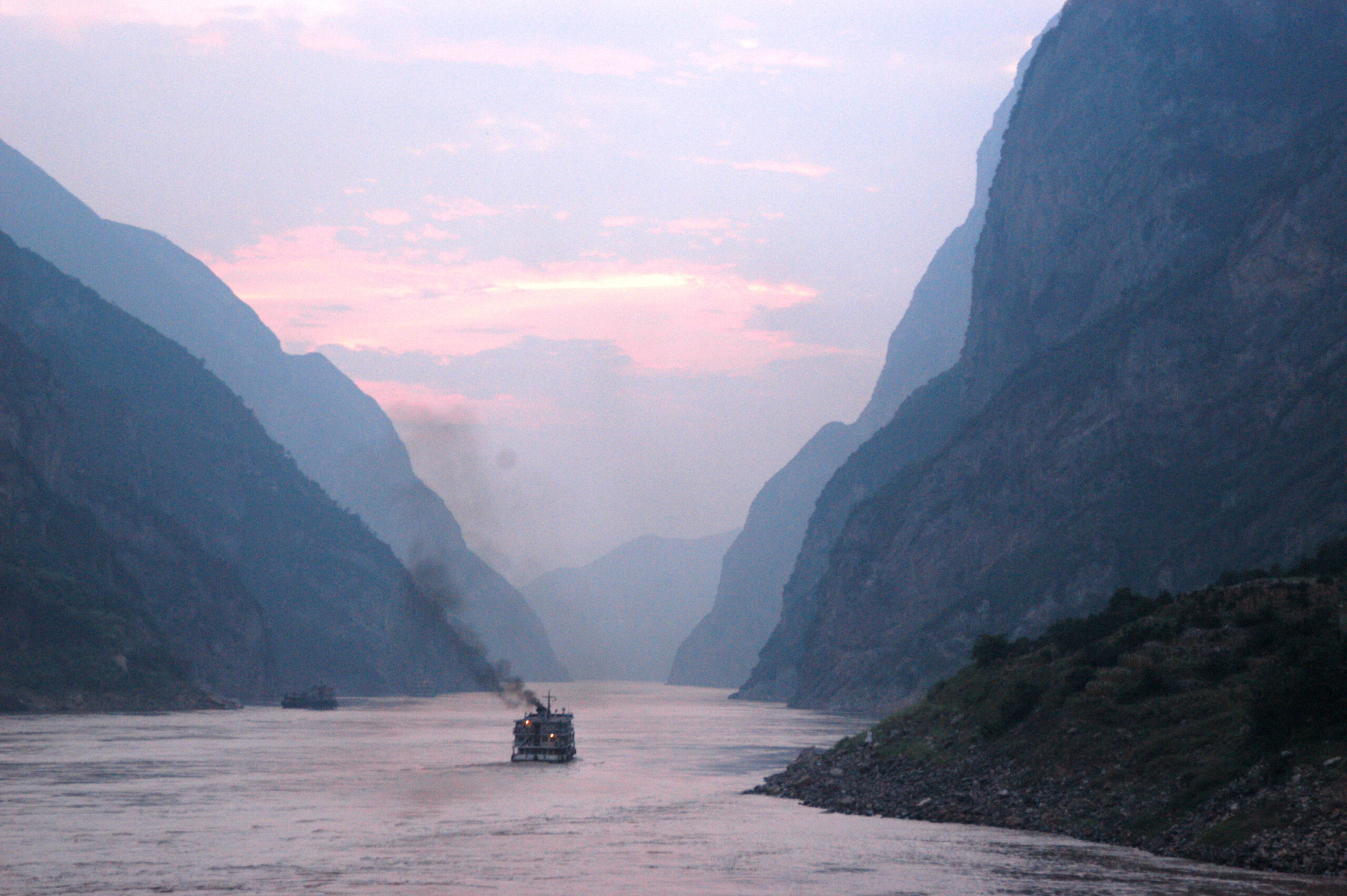
Shrinkage of the Caspian Sea (pictured), Earth’s largest landlocked water body, has invited comparisons to that of the Aral Sea since the 1960s, following Soviet Union irrigation efforts that diverted water from the two major rivers feeding it. Credit: Sasan Geranmehr, Wikimedia Commons
Featured Research
As the Caspian Sea dries, saving it will require international action
The Caspian Sea, Earth’s largest inland water body, has been steadily shrinking since the early ‘90s. According to satellite data and river measurements, that’s mostly because river inflow has tanked — especially from the Volga River — due to upstream water usage, reservoir building, and evaporation from regional climate warming. In contrast, rainfall has held steady and evaporation from the sea’s surface has grown little. Rising levels of chlorophyll-a, a green pigment often used as a measure of algae in water, also point to mounting ecological stress. Mitigating the sea’s ongoing desiccation, as well as the ecological and socioeconomic consequences, will demand coordinated international water management efforts, the researchers wrote. [Earth’s Future study]
Clean air policies mean China sends less black carbon to the Arctic than 15 years ago
Arctic black carbon originating from China declined roughly 3% per year from 2009 to 2022, according to model simulations and measurements at Arctic observatories. Though China formerly emitted up to 30% of the black carbon winding up in the Arctic, national clean air policies have since limited those emissions, explaining most of the decline. Released from fossil fuel and biomass burning, black carbon can ride the wind from lower latitudes to the Arctic, where it warms the atmosphere and speeds up ice melting by darkening its surface. The results show that emissions controls in mid-latitude regions can mitigate these impacts. [Earth’s Future study]
Rainfall losses from deforestation may transform parts, but not all, of the Amazon
Because trees release water into the atmosphere that eventually falls as rain, deforestation can lessen rainfall in the Amazon. New research modeling how moisture moves through the atmosphere indicates that while rainfall losses from deforestation alone likely won’t topple the entire rainforest, they could transform certain areas into drier, savanna-like landscapes — especially in southwestern Amazonia, where rainfall depends heavily on upwind forests remaining intact. The researchers estimate this could happen to 81% of the state of Rondônia. Losing forests in western Amazonia and the eastern Amazonia-Cerrado border would constrict downwind rainfall the most, making these key conservation areas, while reforestation in eastern Pará could help to actively boost rainfall. [Geophysical Research Letters study]
See also:
- Deforestation lessens Amazon rainfall, and climate change hastens that process [press release] [Geophysical Research Letters study]
Pacific waves can travel for days, covering thousands of miles
From the storms where they were born, the longest-traveling waves in the Pacific can carry on for more than 12,000 kilometers (over 7,400 miles) over the course of 12 days. The figure comes from a year of data gathered from roughly 300 wave buoys drifting around the Pacific Ocean. The data also agree well with computer models of swells, indicate that modern models can accurately simulate how swells propagate and how fast they lose energy. [JGR Oceans study]
For coastal lowlands like the Fens, no single fix for climate adaptation
The Fens, a coastal lowland of eastern England, faces a slew of interwoven threats from climate change, not just a few dominant ones. Sea level rise, flooding, drought, biodiversity loss and more are all on the table, making adaptation a complicated affair. Researchers used this region, with its history of intensive management and modifications for agriculture, as a case study for assessing how these risks might change and interact over the course of this century and found that a wide range of climate adaptations will be necessary. The team says their regionally focused risk assessment method may assist adaptation planners in other coastal lowlands facing compounding climate threats in the UK and beyond. [Earth’s Future study]
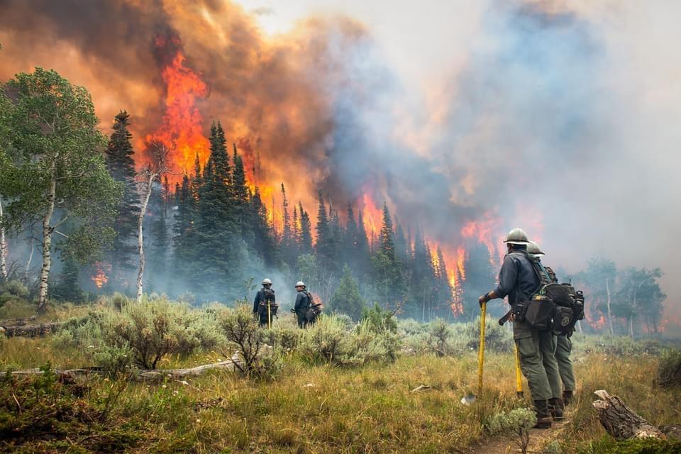
As wildfires increase in the West, so does suppression spending
A new study projects the intertwined relationship between fires and the money spent fighting them. [Eos research spotlight] [Earth’s Future study]


