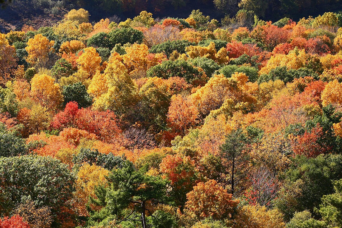
Autumn foliage Talcott Mountain State Park, Connecticut.
Credit: Ragesoss/WikiCommons
AGU News
2026 Ocean Sciences Meeting will convene in Glasgow, Scotland, 22-27 February
Staff, freelance and student journalists, press officers and institutional writers are eligible to apply for complimentary press registration. Book conference hotels early! [media advisory][OSM26 Press][press eligibility guidelines]
Featured Research
Autumn colors could be delayed as climate change impacts rainfall
In the last 40 years, more rain falling in less frequent (but more extreme) storms/bursts has caused autumn leaves to change color and fall later in the season in the northern hemisphere’s upper latitudes. Warming temperatures during fall have previously been shown to delay autumn colors and leaf fall by up to two weeks, and changes in rainfall could compound those impacts. The delay may impact the season’s beauty, but it can also affect the fertilization of the soil, protection for plants and animals and could impact the tree’s regrowth the next year. [Geophysical Research Letters study]
Meteotsunamis pose an unknown risk as sea levels rise and weather patterns change
Meteorological tsunamis, or meteotsunamis are tsunami-like ocean waves that have long been known around the world under various names by communities that have faced these threats for centuries. When amplified by shallow waters along coasts, they can cause severe flooding, damage and death. A new review discussed available research on these mysterious tsunamis including the current alert systems in place, theories on how the storms form, and looked for gaps in information for potential future investigations. Currently, modeling meteotsunamis is difficult, and it leaves scientists unable to fully predict changes or possible events, like how climate change may impact them. Additionally, the researchers wrote about wanting to see more long-term, early warning systems for high-risk communities. [Reviews of Geophysics study]
Global water models systematically underestimate drought
To predict drought, scientists often rely on computer simulations of how water systems on land react to different climatic and environmental conditions. But in a new study examining how well these global water models simulated historical droughts, researchers found they frequently underestimated the actual amount of water in snowpack, rivers, lakes, canopies, aquifers, and other land-based water sources as measured by satellites. One reason, the researchers wrote, is that many models don’t sufficiently factor in the impact of human actions like irrigation and groundwater extraction. Fixing this could improve models’ ability to accurately predict future droughts as well as historical ones, helping us manage water resources more effectively as droughts in many parts of the world grow more frequent and severe with climate change. [Geophysical Research Letters study]
Converging eddies create forever chemical hotspot, putting sea life at risk
More than any other force, ocean currents determine how PFAS — long-lasting, human-made compounds nicknamed “forever chemicals” — move around the globe. In a new study, researchers took water samples from two ocean eddies swirling in opposite directions in the western North Pacific Subtropical Gyre. At the boundary between them, the team found a PFAS hotspot with concentrations two to seven times higher than in surrounding waters at the same depth. This could put marine life at risk: convergences between eddies can also concentrate plankton, in which PFAS can accumulate, and nutrients, which attract marine life. [ JGR Oceans study]
Satellite scans can estimate urban emissions
As more cities strive to meet climate goals, space-based observations may help fill in the gaps on tracking emissions. [Eos research spotlight][AGU Advances study]