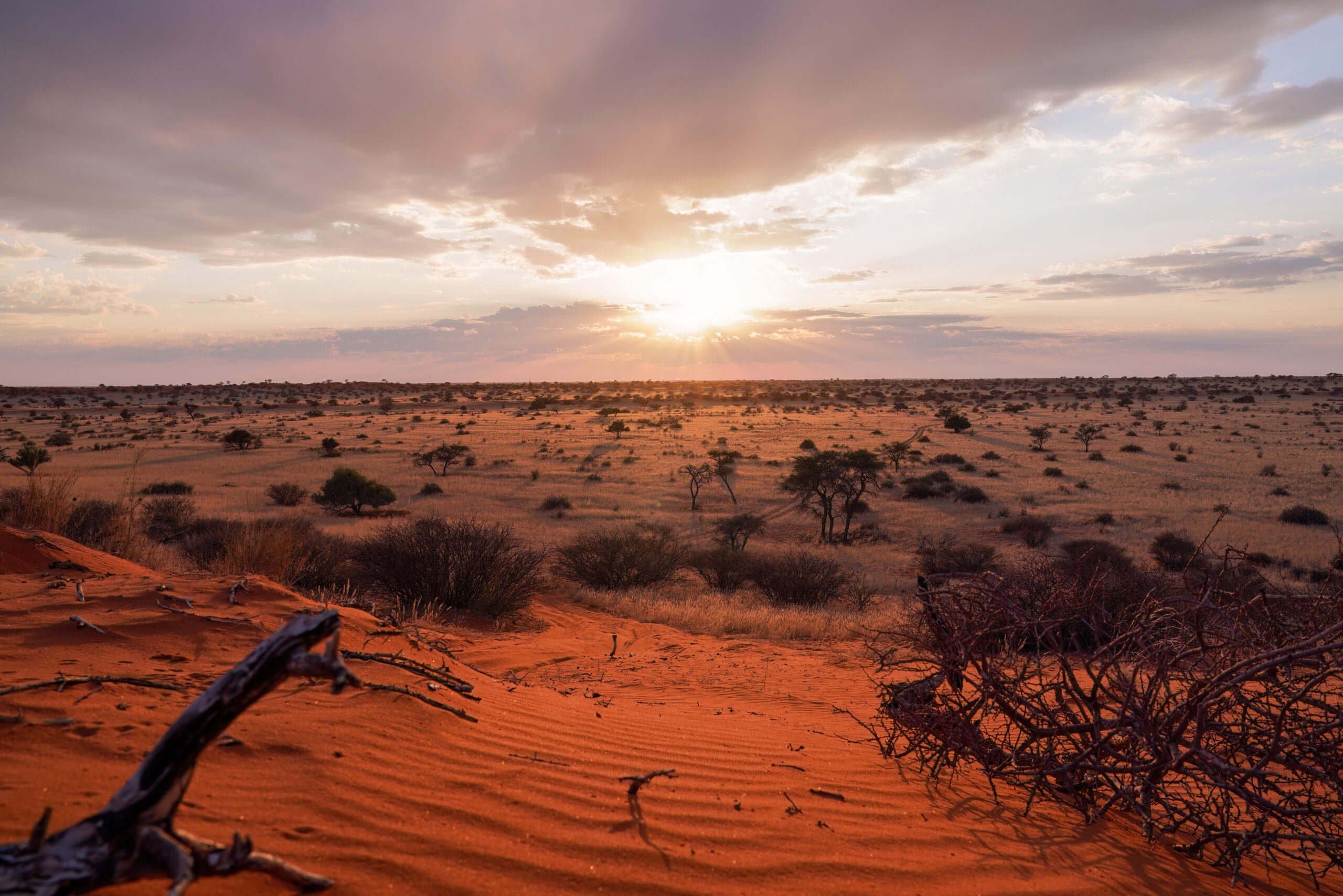
Sunrise in the Kalahari Desert in Namibia. Southern Africa is among the regions experiencing a contraction of its desert area, contributing to a global trend. Credit: Giles Laurent, Wikimedia Commons
AGU News
Ignoring science weakens court decisions: Reinstate climate science in the Federal Judicial Center’s reference manual
AGU responds to the recent removal of a chapter on climate science from the 2025 4th edition of the Federal Judicial Center’s Reference Manual on Scientific Evidence, decrying the decision amid the need for judges and legal professionals to have access to clear, credible scientific guidance when evaluating cases involving climate evidence. [From the Prow]
Featured Research
Earth’s total desert area shrank 900,000 square kilometers in the past 40 years
The first map of our planet’s desert area over time, built from 40 years of high-resolution satellite imagery, reveals Earth has lost roughly 22,700 square kilometers of desert per year from 1985 to 2024. That adds up to about 900,000 square kilometers — roughly the size of Venezuela, or 3.6% of the average global desert area over those 40 years. The trend was concentrated in Australia, South Africa and east and central Asia, although deserts have expanded in North Africa, North and South America, and southwest Asia. The researchers attribute the decline to a combination of human influence, such as ecological engineering boosting plant growth in east Asia, and episodic pulses of extra water availability promoting self-sustaining plant growth in certain regions. [Geophysical Research Letters study]
By 2067, Thwaites Glacier may lose ice as fast as all of Antarctica does today
Antarctica’s Thwaites Glacier could be losing 180 to 200 billion tons of ice per year by 2067, about as much as the entire continent currently loses each year. The projection comes from computer models trained on satellite observations of changes in the height of the glacier’s surface from 2004 to 2017. Thwaites is already losing ice five times faster than in the 1990s and, if it collapsed entirely, could raise global sea levels over two feet all on its own. [Geophysical Research Letters study]
Rising heat hurts labor productivity, economic development of agricultural nations
By 2095, the global economy may lose 841 billion to over 1.8 trillion hours of labor per year due to worker heat stress from climate change, depending on whether society takes a low- or high-emissions pathway. That’s equivalent to roughly five to ten percent of daylight working time, a new study finds. In terms of percentage of daytime work hours, low-income countries may lose 2.5 to 3.3 times more productivity than high-income nations due to their greater reliance on agricultural labor that exposes workers to heat — especially in tropical regions, where scientist expect heat exposure rise the most. This worsens global economic inequality and slows the economic development of low-income countries, the researchers write. [GeoHealth study]
Erratic swings in natural water systems reveal the Amazon’s increasing fragility
Most of the Amazon basin is seeing bigger swings in rainfall, river flow, soil moisture, and evapotranspiration, with extreme conditions lasting longer when they occur, according to an analysis of hydrological data across the region mostly spanning back to the late 1970s and early ‘80s. This erratic behavior means the Amazon’s water systems take longer to recover from disturbance. When El Niño events and warm Atlantic waters coincide with deforestation and fires to dry and heat the land, recovery slows even more, partly explaining the record-breaking Amazonian drought in 2023 and 2024 that lasted well past the peak of El Niño. The trend puts the region’s forests, climate, and water security at greater risk, the researchers wrote, highlighting the need to cut down on deforestation and greenhouse gas emissions and to control fire. [Water Resources Research study]
Californians are getting less time to recover from wildfire smoke
Between 2006 and 2010, the average California census tract saw two or three smoke waves, defined as two or more smoky days in a row. Between 2016 and 2020, it saw five — an 85% increase — with the average wave lasting four and a half days, nearly a full day longer than in the earlier period. The average time between smoke waves also shortened from 208 days to 76 days. Altogether, this leaves Californians less time to recover between smoke events. Recovery periods have dropped the most steeply in communities with high proportions of racial minorities, low incomes, and single female households. [GeoHealth study]
Global observations reveal rapid reorganization of ocean nutrients
Data reveal that changes in nutrient levels vary depending on depth and distance from shore—and that these changes are happening more quickly than scientists realized. [Eos research spotlight][AGU Advances study]
Tides generate detectable electrical signals in coastal aquifers
Spontaneous potentials show possibility for monitoring coastal saltwater intrusion. [Eos editors’ highlight][JGR Solid Earth study]