
Sprays of mist cool pedestrians during a heatwave in Florence, Italy. Due to a domino chain of atmospheric connections, Arctic ice loss from human-driven climate change may be triggering heatwaves as far away as East Asia, new research indicates. Credit: Richard Vanlerberghe, Unsplash
Featured Research
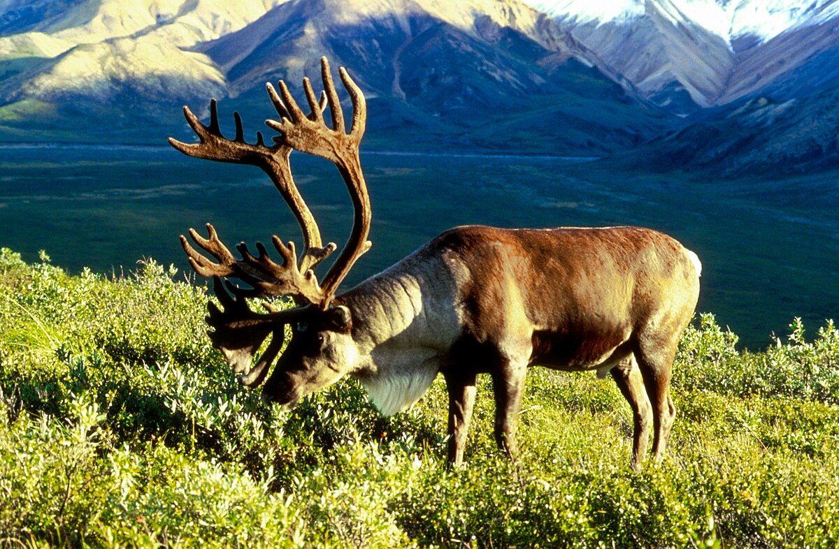
Arctic ice melt triggers heatwaves in Europe and East Asia
Heatwaves are simultaneously striking Europe and eastern Asia more frequently due to declining ice in the Barents Sea, where spring ice loss has increasingly persisted through summers since 2000. Researchers found these longer seasonal ice lows set off a domino effect, combining with land-atmosphere interactions to trigger unusual atmospheric circulation over northwestern Europe. This, in turn, sends high pressure rippling into East Asia, inducing similar atmospheric anomalies there and priming both regions for heatwaves. As human-driven warming disproportionately affects the Arctic, the study shows, warming there can impact crops, ecosystems, public health, and economies across continents. Understanding these links could help improve early warning systems for extreme weather, the authors noted. [JGR Atmospheres study]
Evidence of human impact on atmospheric temperature counters U.S. federal report
A 2025 review of the impacts of greenhouse gas emissions by the U.S. Department of Energy falsely asserted that changes in atmospheric temperature in recent decades do not bear the fingerprints of human influence in ways climate models expect, researchers state in a new paper. Evidence shows that human-induced increases in atmospheric CO2 and depletion of ozone have altered the atmosphere’s thermal structure, warming its lowest layer, the troposphere, while generally cooling the stratosphere just above. Climate models have predicted these effects for over 50 years, the researchers wrote, and temperature data from satellites confirms our best current model estimates with high confidence. [AGU Advances commentary][U.S. Department of Energy report]
Asian forests struggle to maintain microclimates amid canopy loss and warming
By 2050, peak daytime temperatures even on the shady floors of southeast Asian forests will rise by 1.4 to 2.1 degrees Celsius, depending on future greenhouse gas emissions and compared to a baseline period of 1984 to 2014, a new study predicts. Researchers used ground-level temperature readings, satellite data, and future climate projections to estimate changes for 46 forests in Southeast Asia, where deforestation is rapid. Canopy loss reduces shade cover, eliminating the previously cool, moist microclimates below and piling heat stress on sensitive species living there. Conservation efforts should target forest areas most capable of maintaining these microclimates, the team wrote. [Geophysical Research Letters study]
In Central Asia drylands, solar arrays boost ecosystem health
As of 2023, photovoltaic installations occupied 444 square kilometers of Central Asia, mostly in barren lands and grasslands. According to new research using satellite imagery to map these power plants’ proliferation from 2010 to 2023, the panels’ presence generally promotes plant growth, conserves soil moisture, moderates temperature swings, and reduces soil saltiness. As dryland solar power booms due to abundant sunlight and few land-use conflicts, researchers wrote, strategically siting solar arrays could help improve ecological resilience and restoration while generating clean energy at the same time. [Earth’s Future study]
Dammed, urbanized rivers emit more planet-warming methane
Stretches of river impacted by urbanization and damming emitted 1.7 to 2.1 times more methane than less-disturbed upper reaches, according to new research of 747 kilometers of a river in northern China during late summer. Slower streamflow and sewage input in these areas cause fine sediment and nutrients to build up, oxygen to deplete, and methane-making microbes to proliferate. The result highlights the role humans play in controlling methane emissions along human-disturbed rivers, which scientists recognize as a significant source of the planet-warming gas in the atmosphere, the researchers wrote. [JGR Biogeosciences study]
Drought drove the Amazon’s 2023 switch to a carbon source
The change was caused by thirsty vegetation taking up less carbon than normal, not by the year’s extended fire season, new research shows. [Eos research spotlight][Eos editors’ highlight][AGU Advances study]
Boomerang earthquakes don’t need complex faults
New simulations show earthquakes can reverse direction within seconds on simple, uniform faults, suggesting back-propagating subevents are more common than previously thought. [Eos editors’ highlight][AGU Advances study]
Satellite view of the California wildfires of January 2025
Satellite observations of the southern California wildfires of 2025 reveal that almost all the burned areas were reached by fire within 24 hours, and wildfires in residential areas burned more intensely than nearby natural vegetation fires at night. [Eos editors’ highlight][AGU Advances study]
Future hotspots of hazardous rivers in the atmosphere
Atmospheric rivers can produce heavy precipitation and associated hazards worldwide. A new study identifies regions where these hazards have already, and will further, increase with global heating. [Eos editors’ highlight][AGU Advances study]


.jpg)
.jpg)